
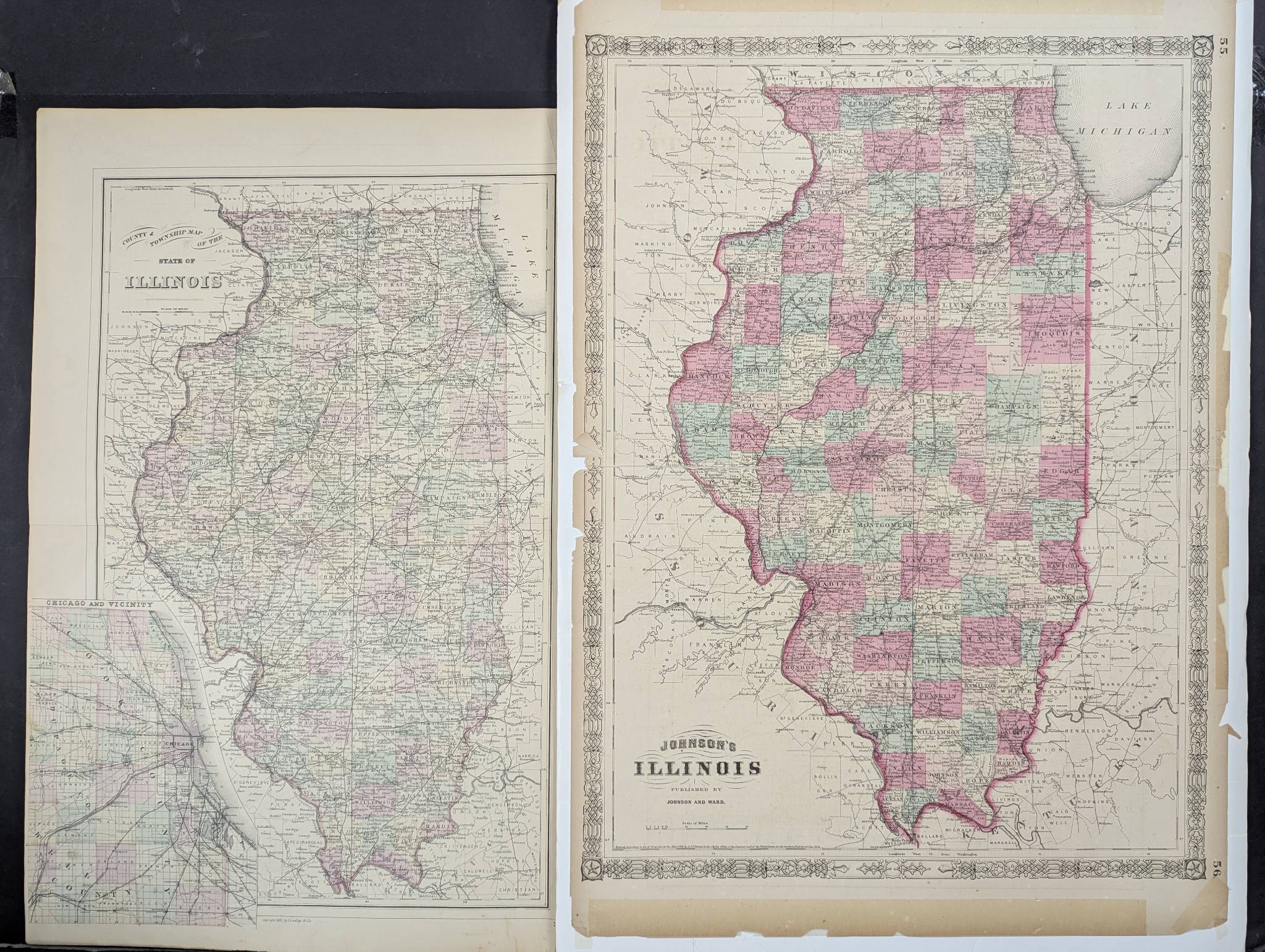
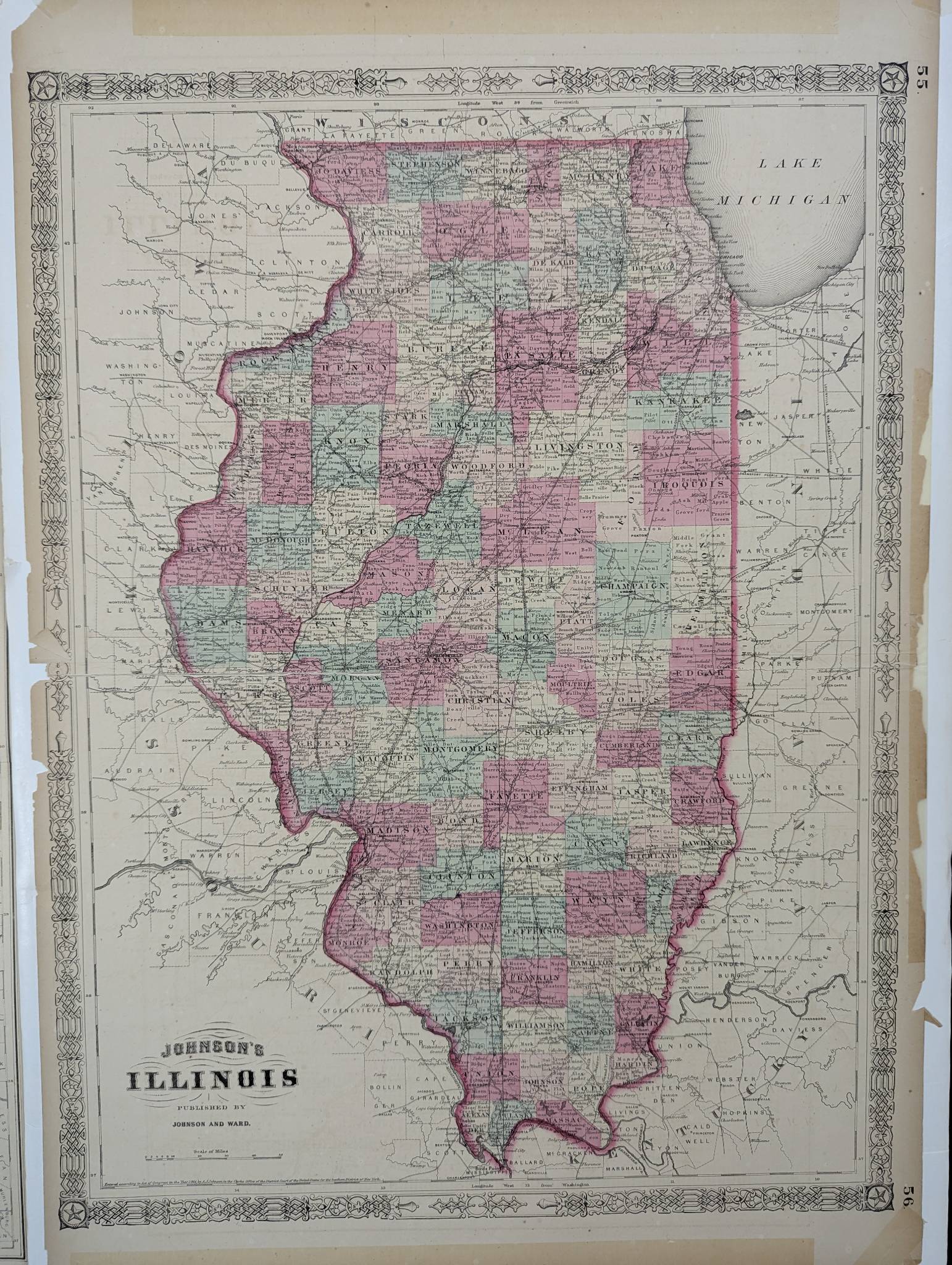
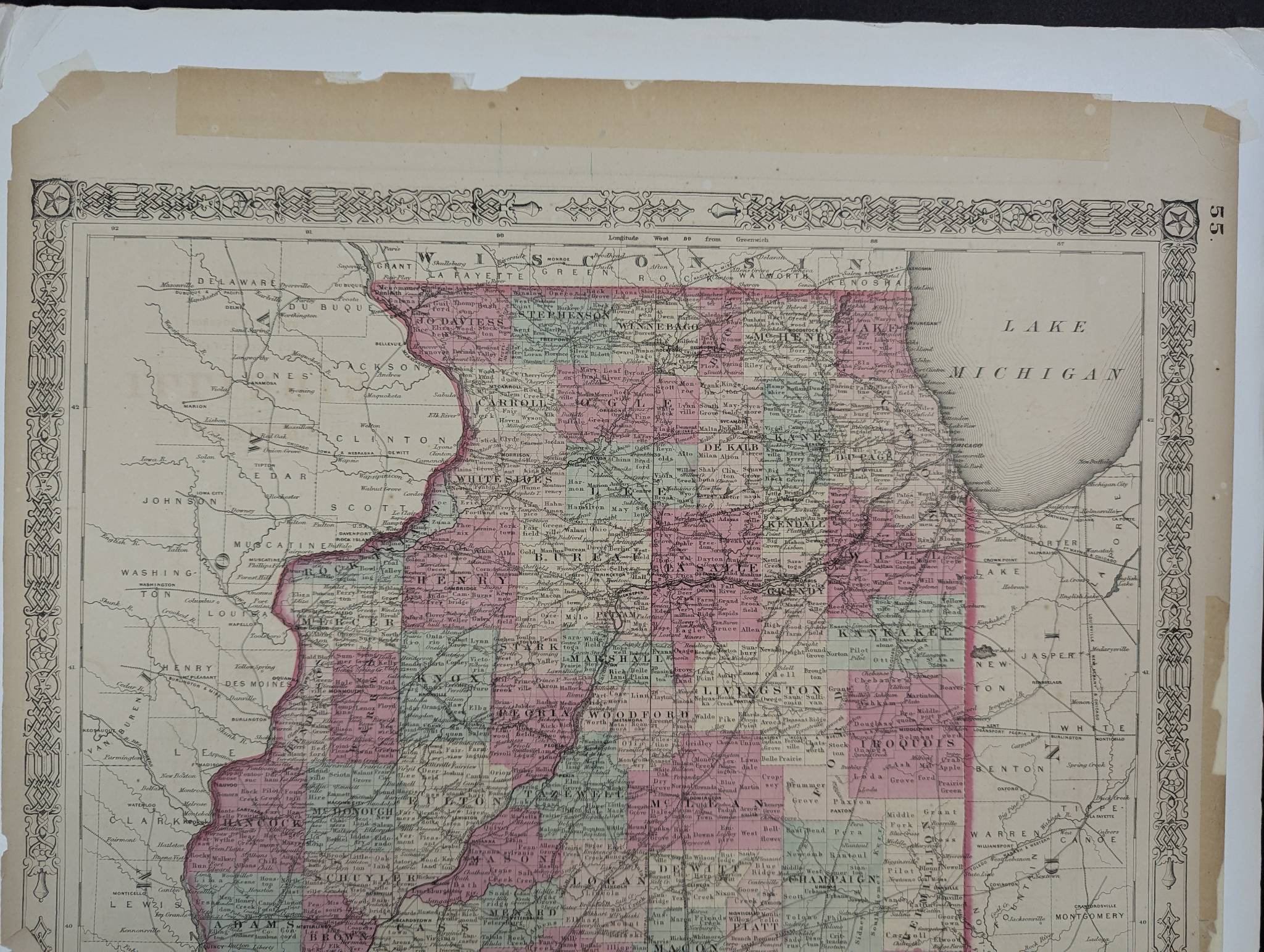
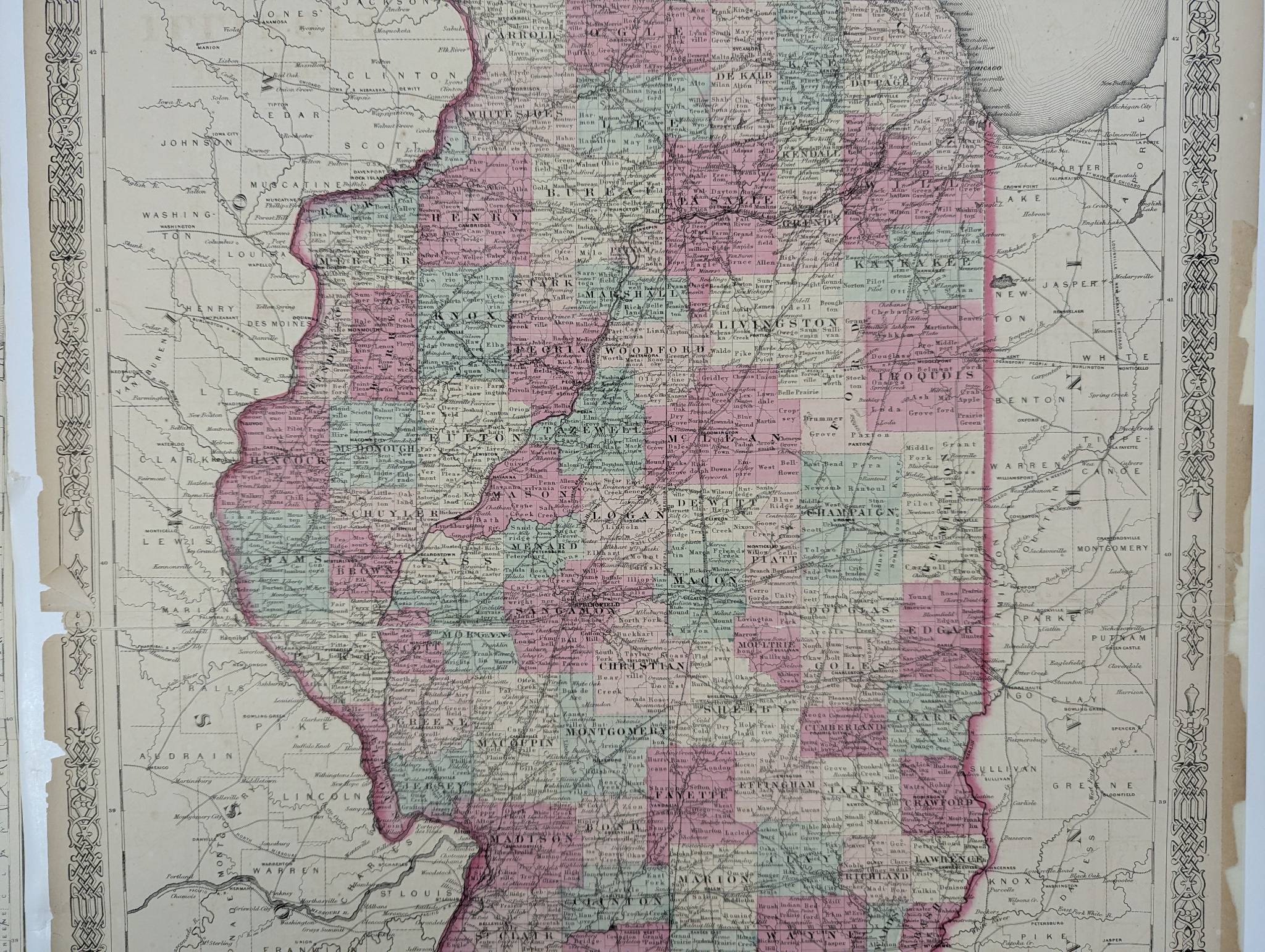
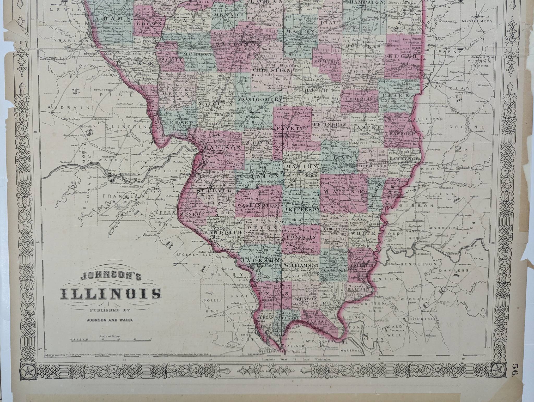
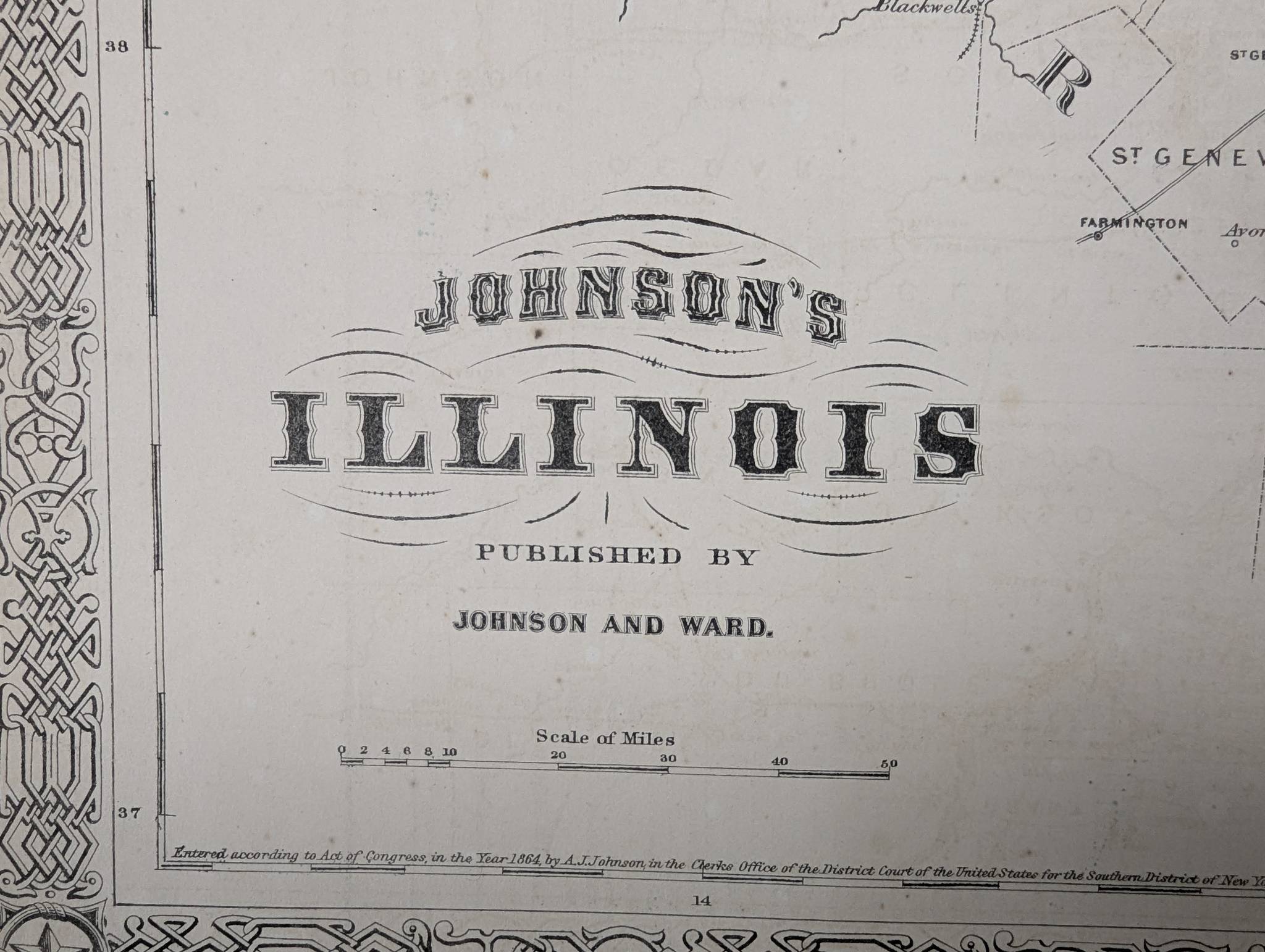
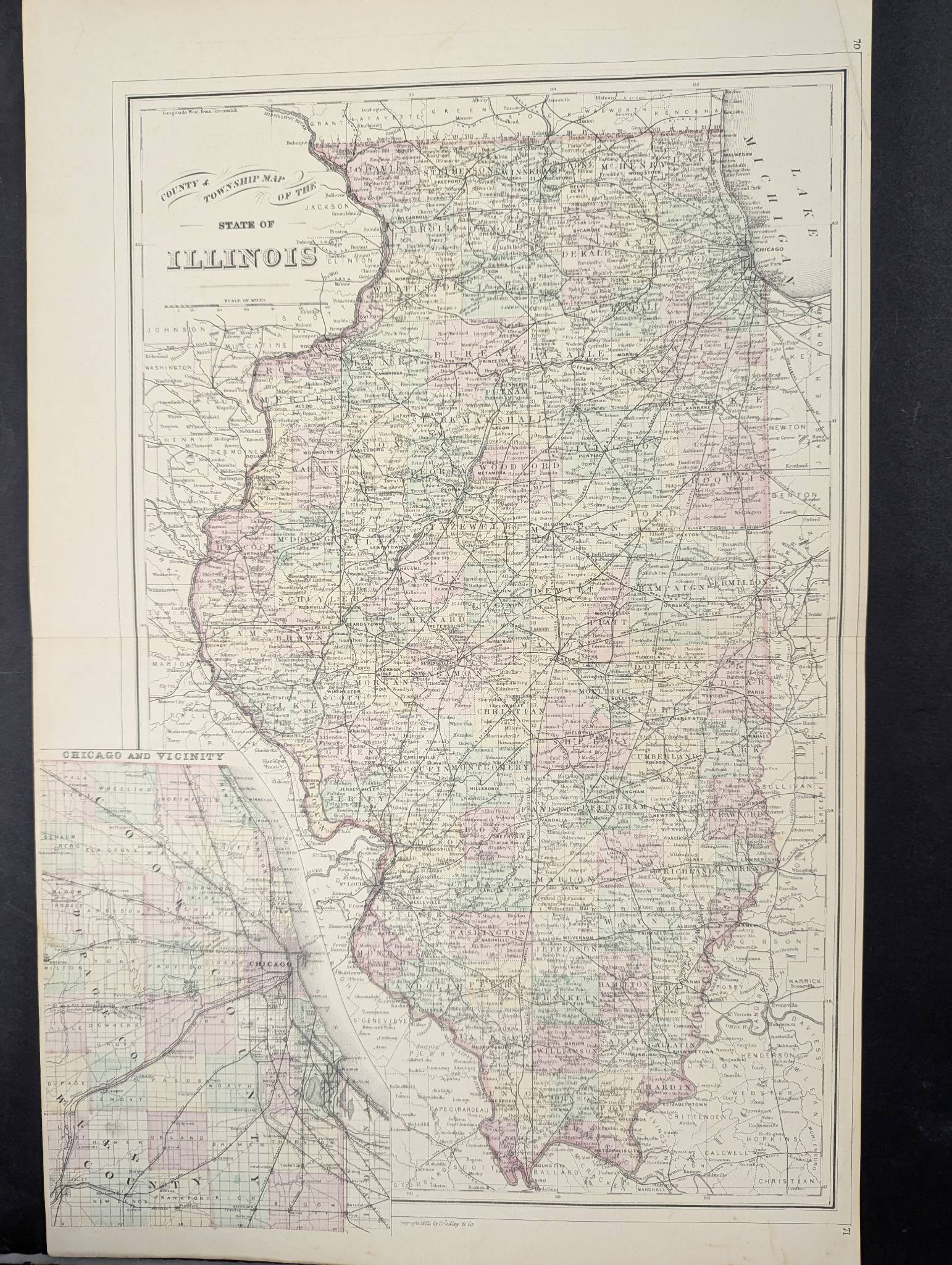
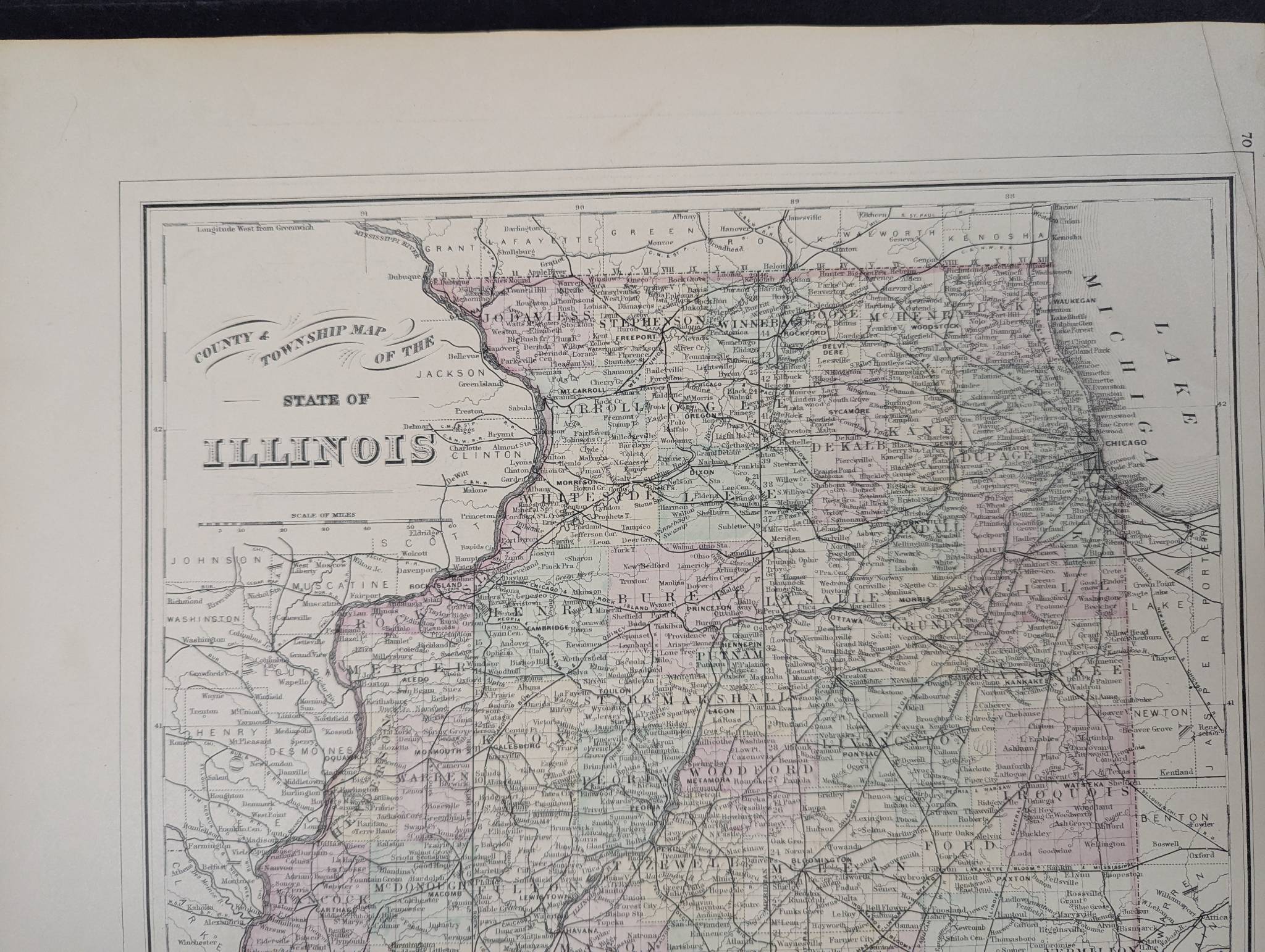
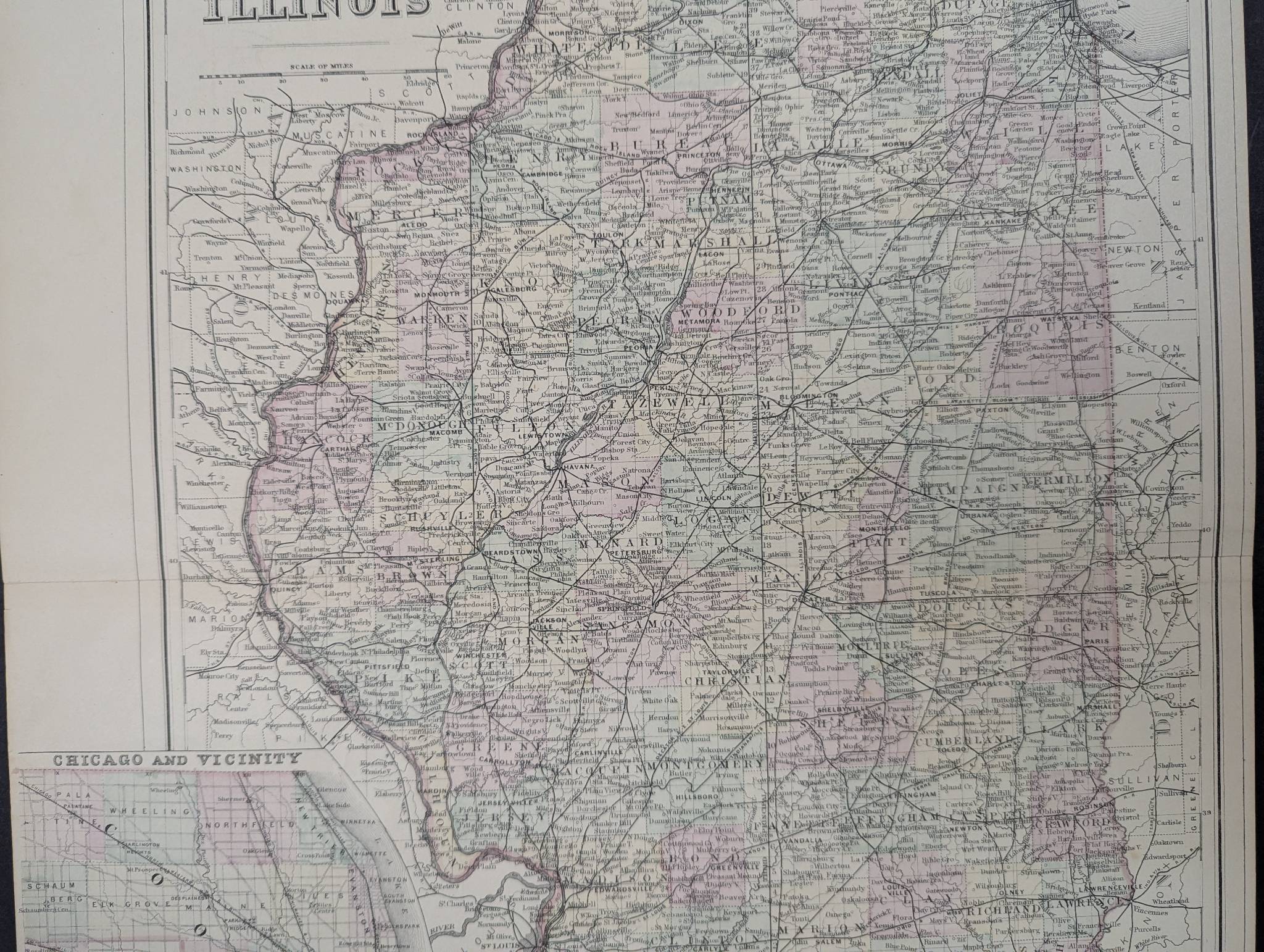
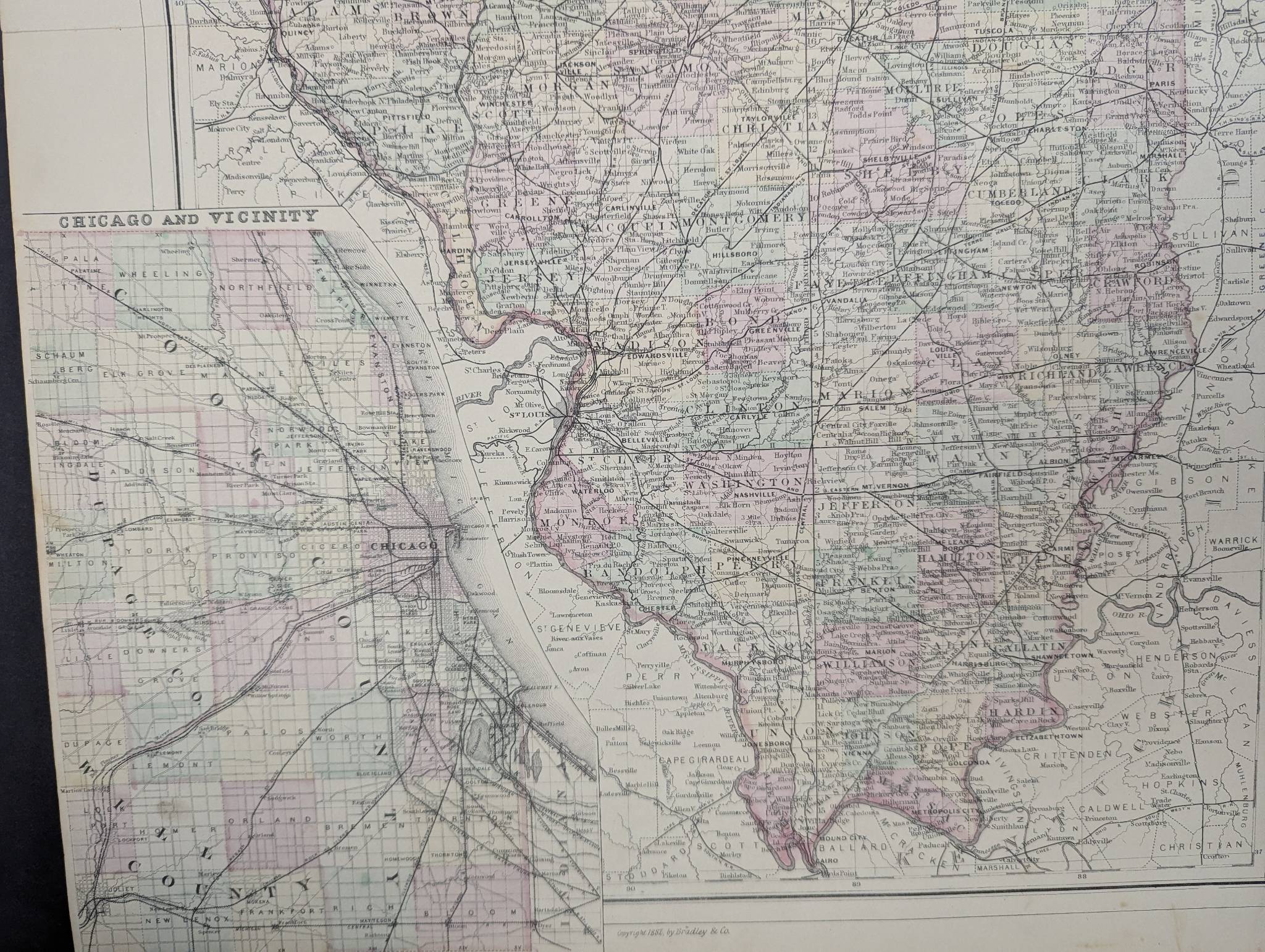
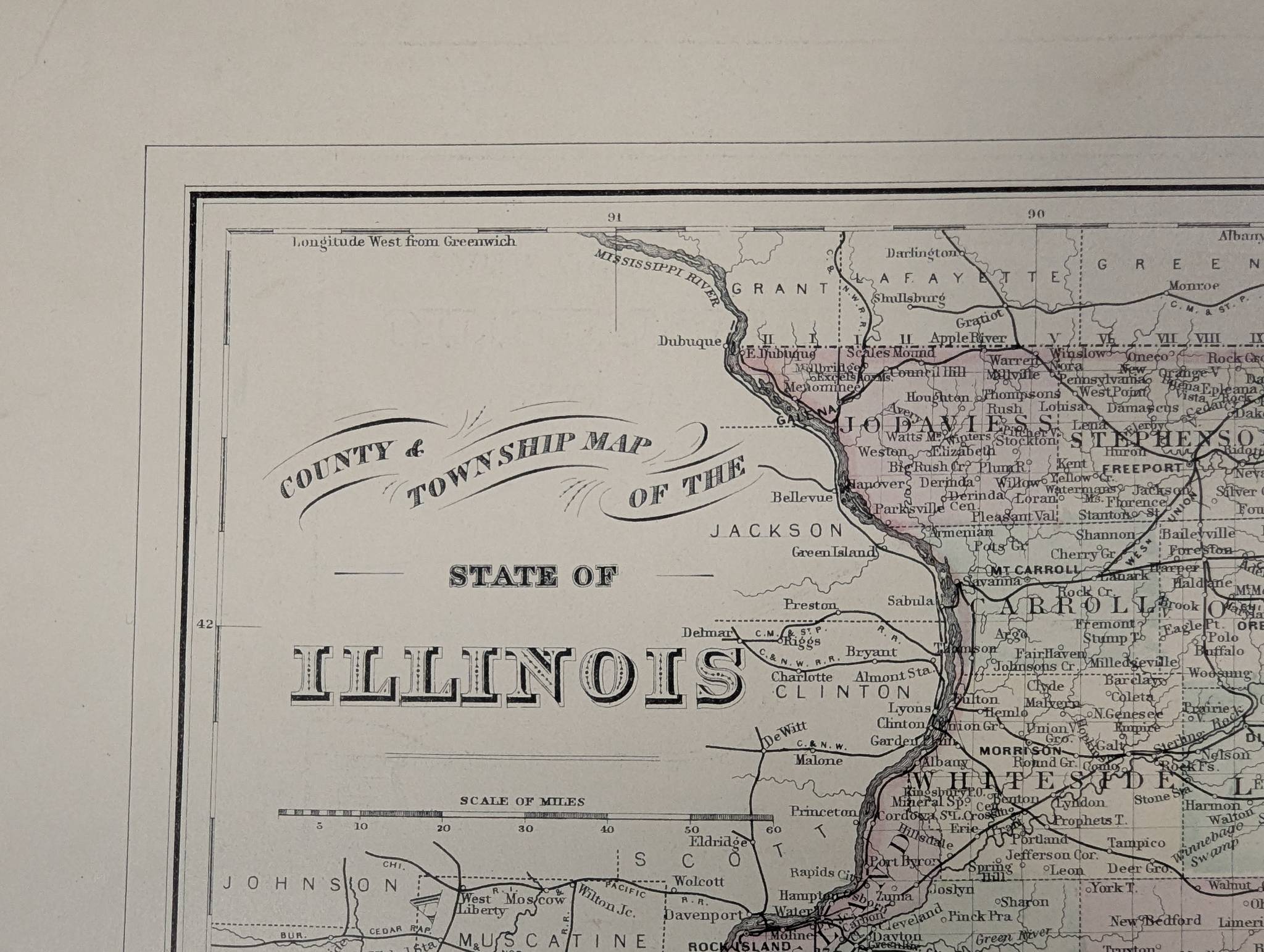
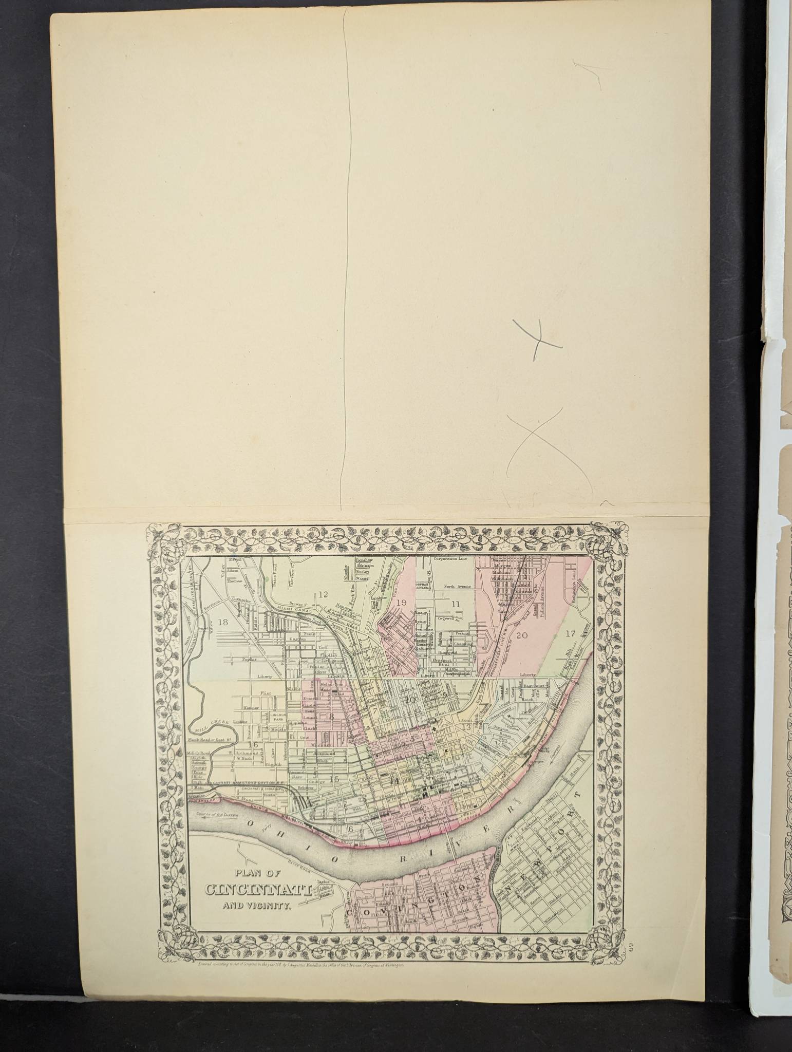
Late 19th-century maps depicting Illinois, published by Johnson and Ward, c1880s. The larger map measures 18 inches high by 26 inches wide and the smaller map 15 1/2 inches high by 24 inches wide. Both maps feature clear detailing of county and township boundaries with original coloring. The larger map includes a detailed inset of the Chicago vicinity. Some notable condition issues include toning on both maps and edge tears. One taped to a board. Johnson and Ward were prominent American map publishers known for their detailed and artistic cartographic works in the mid-to-late 19th century.