
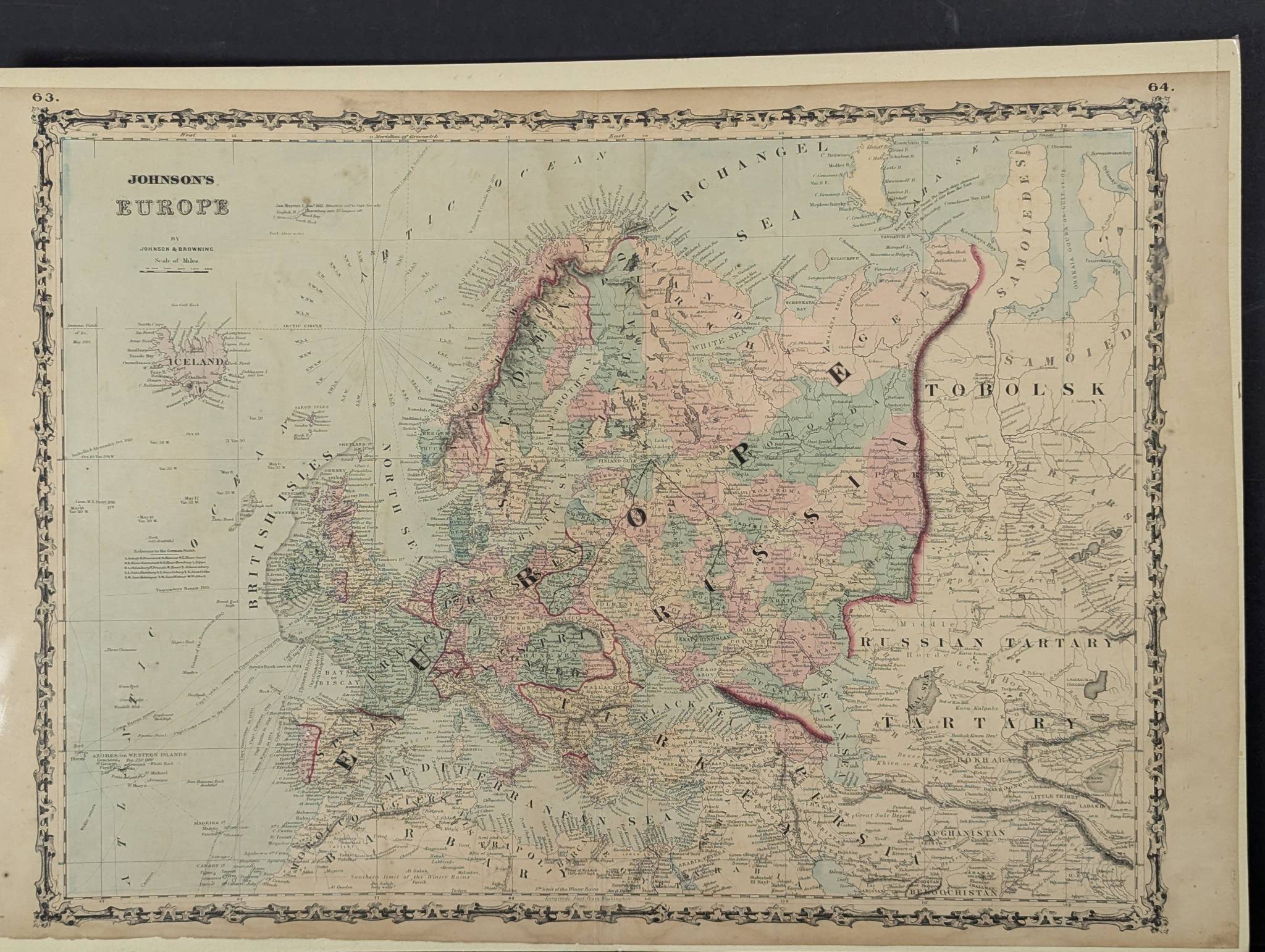
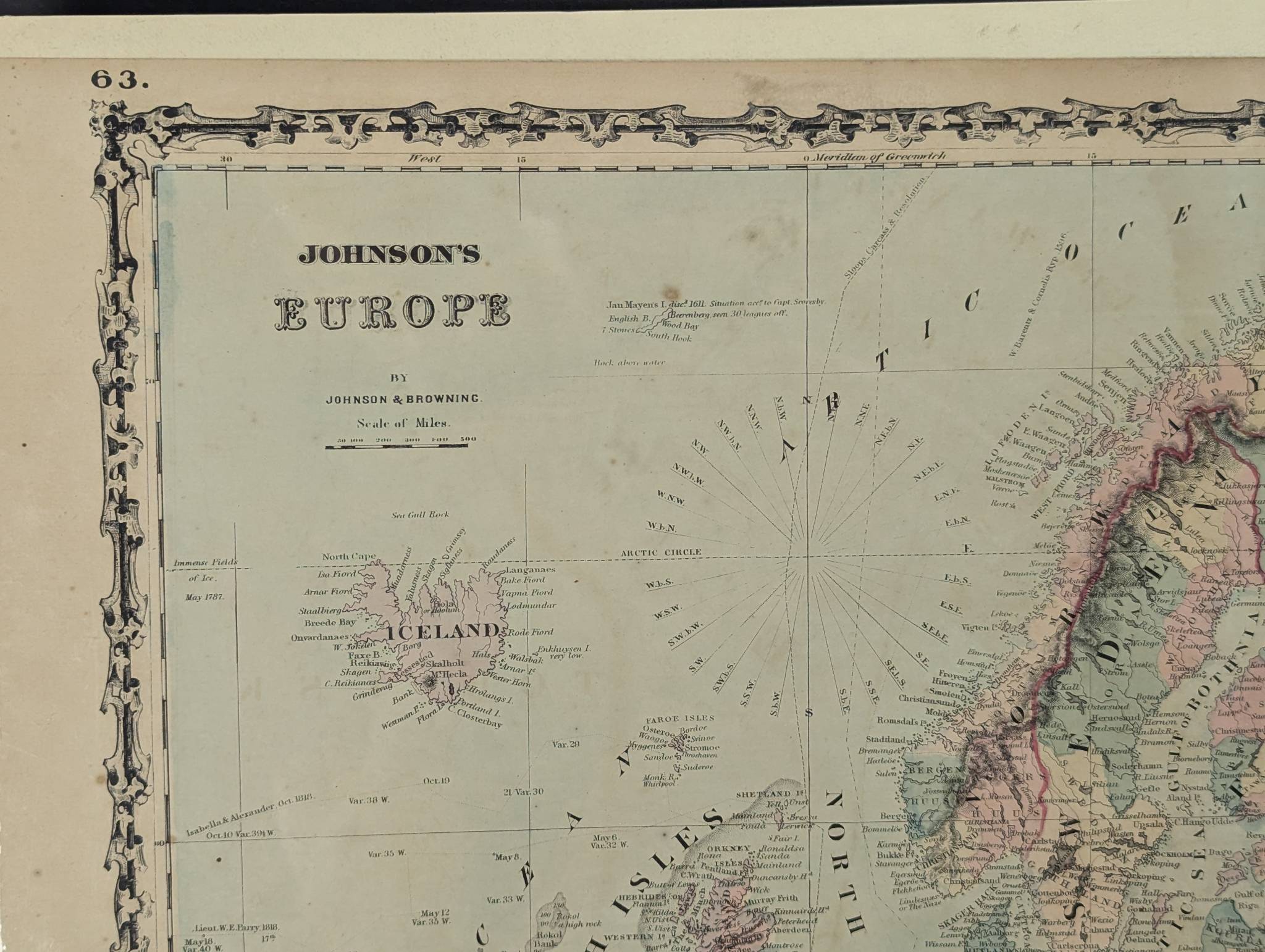
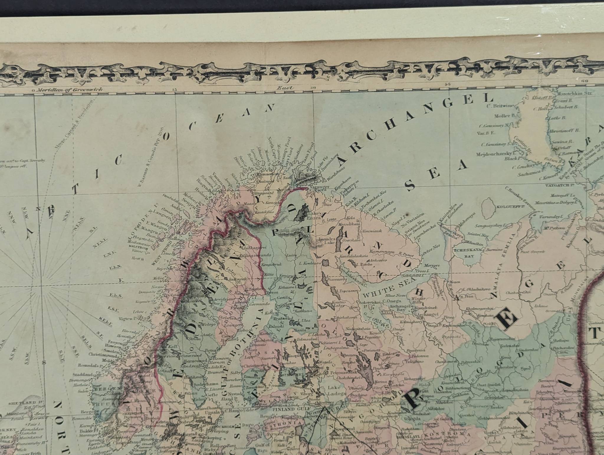
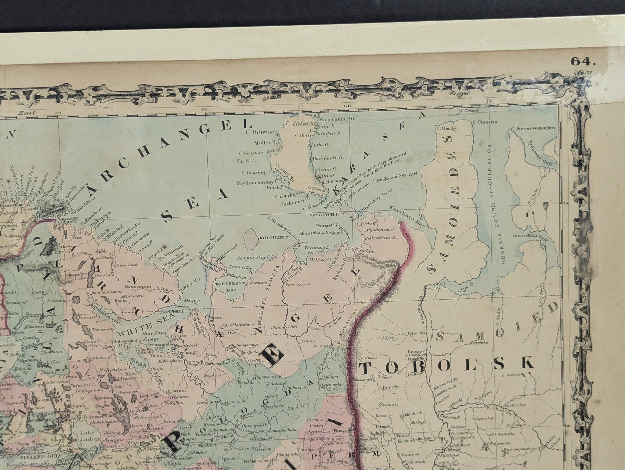
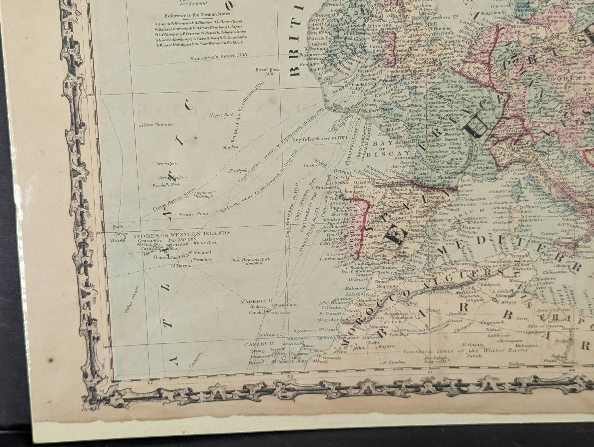
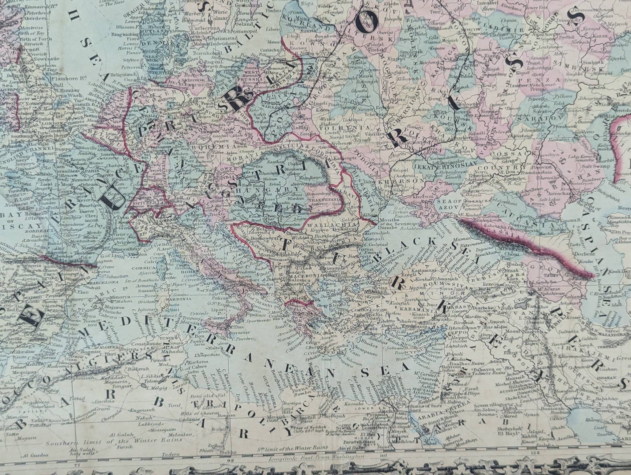
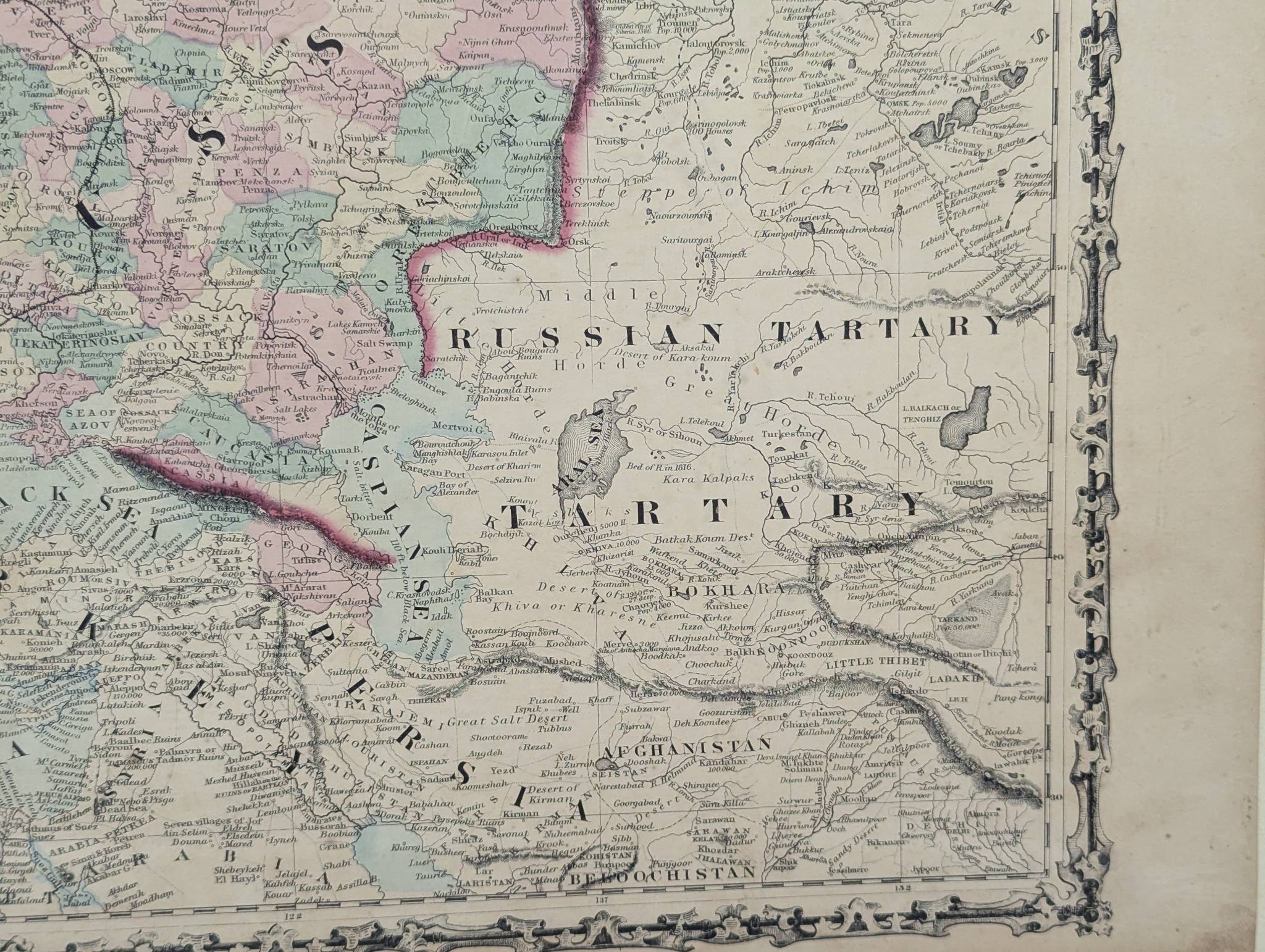
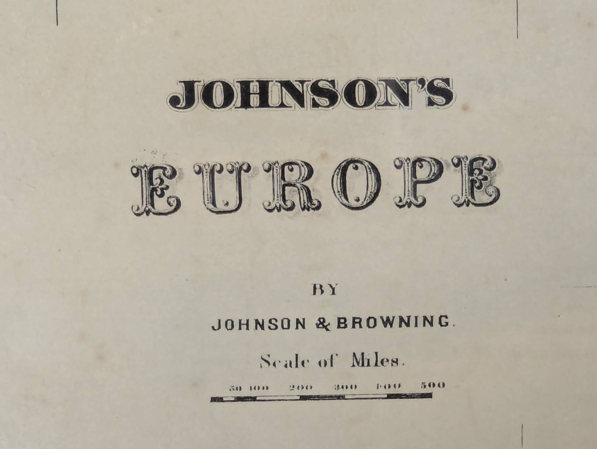
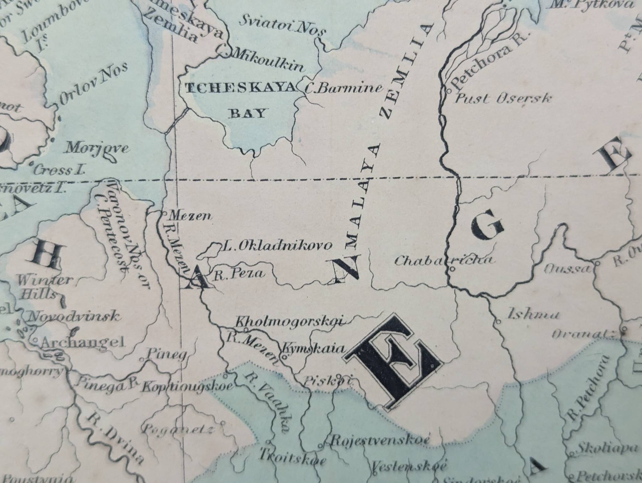
Hand-colored lithographic map titled Johnsons Europe by Johnson and Browning, dated circa 1880. The map presents detailed political and geographical divisions of Europe during the 19th century, marked by vibrant hand-coloring to delineate borders. The map is embellished with a decorative border typical of the era. Measuring 26 inches high by 18 inches wide, it showcases various historical cartographic notations, place names, and geographic features, including seas and territories labeled as Russian Tartary and Crimea. Johnson and Browning were prominent American cartographers during the late 19th century, renowned for their detailed and accurately colored atlases. This map is an example of their meticulous work and reflects historical European boundaries and territories of the time. Has toning.